
Balch Springs ZIP Code Coverage
Captured city, library, and civic materials support two commonly used Balch Springs ZIP codes: 75180 and 75181. The Balch Springs Library address uses 75180, while city and HOA materials use 75181. The research did not produce complete USPS delivery polygons, station assignments, or a definitive postal boundary map. For that reason, these are documented starting points for an address query, not a claim that either ZIP matches the entire city limit.
| ZIP | Areas Covered | Post Office | Notes |
|---|---|---|---|
| 75180 | Documented Balch Springs mailing and locality use | Not located in captured official material | Verify the street and delivery point through USPS |
| 75181 | Documented city and HOA-material use for Balch Springs | Not located in captured official material | Check edge addresses with GIS and DCAD |
| 75182 | Appears in one HOA management-certificate result | Not verified as a standard Balch Springs delivery ZIP | Keep as an edge-data lead only |
USPS delivery geography can cross a municipal line, and one city can use more than one postal label. Balch Springs GIS, the DCAD parcel map, and legal descriptions answer different geographic questions. Use those sources before calling an address a city address because of its ZIP alone.
Balch Springs ZIP Code Checks
The USPS ZIP Code Lookup is the live validation route for a city-and-state query or a particular street address. The captured USPS material shows the blank lookup entry point, not a complete boundary dataset. Check the live result on the date it is needed and retain the original address spelling when testing a historical record.
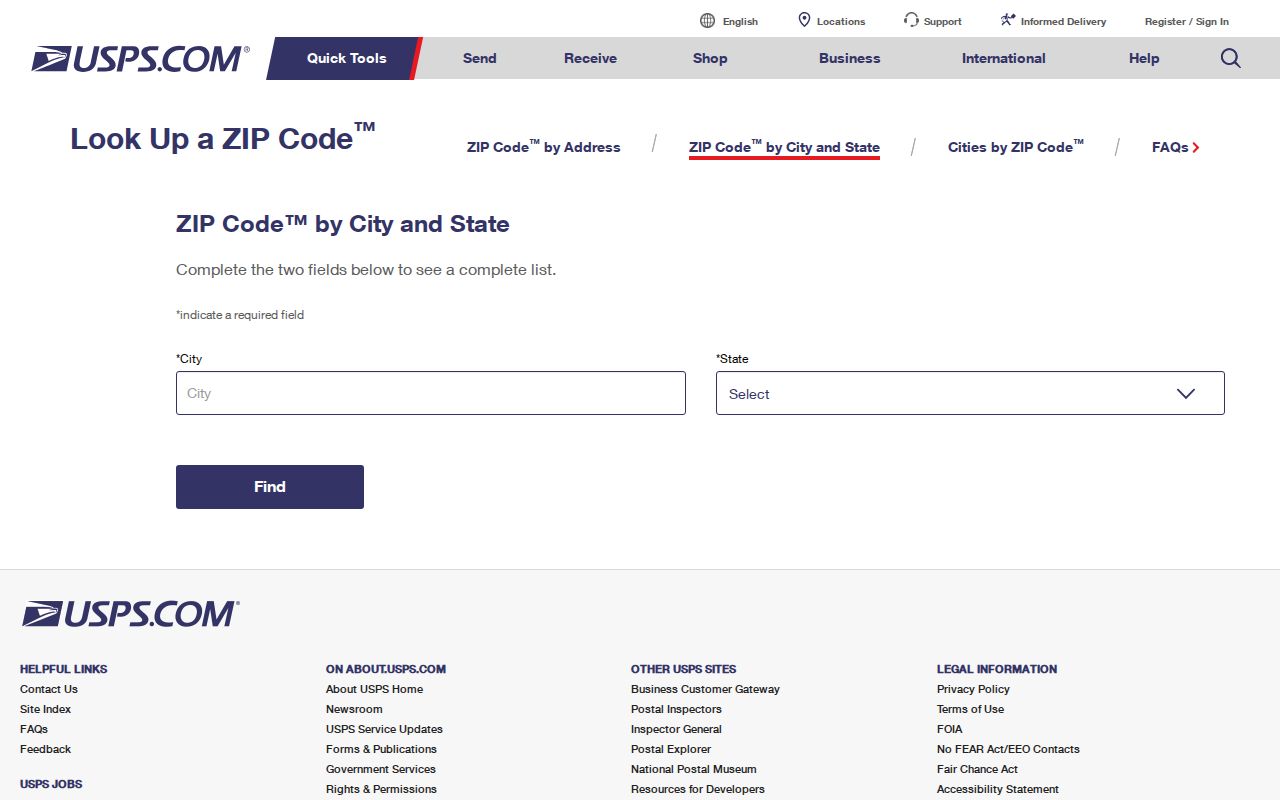
The USPS result can validate delivery information, while it cannot establish a parcel owner, a city jurisdiction, or a person’s current presence at an address.
For a range of addresses, validate each delivery point separately. The research did not locate an authoritative old ZIP conversion table, carrier-route inventory, or postal station list for Balch Springs.
Find Balch Springs Records by ZIP
Use a ZIP as a filter or a routing detail, then shift to the identifier that the record system actually uses. DCAD is built around street-address and account searching. The Dallas County Clerk Official Public Records index is driven mainly by grantor, grantee, subdivision, document type, document number, and date. The Texas Secretary of State voter route may use ZIP in a name lookup, but a result does not prove a current street address.
- Run the USPS check for the target address and note the result date.
- Search DCAD with the number and street name, then save the account number from the matching parcel result.
- Use the account, legal description, owner name, or subdivision as appropriate in the Dallas County Clerk Official Public Records portal.
- Use the city and ZIP on a recording-copy request only as identifying details, then verify the instrument image and legal description.
- For a voter-status question, use the Texas Secretary of State My Voter Portal and follow its current identity and confidentiality rules.
Once the postal area is narrowed to a named street, the Balch Springs street directory provides the address-first parcel and deed sequence. A ZIP-only search is too broad to replace that record trail.
Balch Springs ZIP Code Address Form
DCAD’s address search has its own formatting logic. Enter digits only for a street number, omit the street type, use the direction control when needed, and use the exact street-name rules. A percent sign can serve as a wildcard. Reduce the number of terms if no result appears. These rules are more reliable for parcel identity than using a postal code by itself.
| DCAD field | Observed format or option | Why it matters |
|---|---|---|
| Number | Digits only; From and To for a range | Matches the property-address search logic |
| Direction | Separate control | Helps distinguish similarly named streets |
| Street name | No spaces; omit street type; at least two characters | Supports the stated DCAD matching rules |
| Building or suite | Separate fields | Do not put a suite in the street-number field |
| City and account type | Available refinements | Refines an address search after the street fields |
A returned DCAD list can show property address, city, owner or business name, total value, and type. The account number is the strongest bridge to map and deed research. The research did not capture a complete historical ownership display or every detail-card field, so check the live parcel result rather than assuming those fields exist.
The DCAD property map accepts an account, property address, owner name, or a map click. That makes it useful after a postal check has narrowed the address, especially near a city or ZIP edge. DCAD lists property-records customer service at 214-631-0910 and its main lobby at 2949 N Stemmons Freeway in Dallas. Mapping/GIS contact is MappingGIS@dcad.org. The captured sources did not establish the map’s full layer list, historical ownership display, or complete detail-card fields. Save the account key and compare the legal description with the recorded instrument instead of treating a visible map result as a complete historical record.
Balch Springs ZIP Code Record Fields
A postal field means different things in different systems. The Dallas County Clerk copy-request form asks for city, state, and ZIP as part of the property identification, but its public index is not designed as a ZIP directory. It has grantor and grantee, subdivision, document, and date paths. A street address can be less reliable in the index than an owner or subdivision because addresses are not always normalized.
The SOS voter route has name, VUID, and license lookup paths. Its ZIP input can narrow a status inquiry, but protected addresses and confidential programs limit what can be inferred. Vital-record applications use city, county, and state information under separate eligibility rules. None of these systems becomes a public list of people because a ZIP appears in a field.
Note: Save the record’s account, instrument, case, or certificate identifier with the postal detail and the retrieval date.
Balch Springs ZIP Code Boundaries
Postal geography and municipal geography overlap but are not the same. Balch Springs GIS offers parcel, neighborhood, district, zoning, transportation, street, and map resources, while DCAD maps a parcel through an account, address, owner query, or map click. The zoning ordinance notes that official boundary lines generally follow streets, alleys, property lines, or extensions. That helps explain why a city or zoning question needs GIS and legal-description checking.
- ZIP versus ZIP+4
- A ZIP identifies a delivery area; ZIP+4 adds a smaller delivery segment for a particular address or group of addresses.
- PO box ZIP
- A code used for post-office boxes, which does not by itself identify a street delivery area.
- Unique ZIP
- A ZIP associated with one institution or organization. No such Balch Springs ZIP was documented in the captured research.
- Carrier route
- A mail-delivery grouping below the ZIP level. An authoritative Balch Springs route inventory was not located.
Balch Springs ZIP Code Anomaly
The 75182 entry deserves careful treatment. It appeared in a Texas HOA management-certificate result for McKenzie Trails Residential Community Inc., but the research did not verify it as a standard Balch Springs USPS delivery ZIP. The same search set also returned a “Baulch Springs” spelling in a certificate result. Preserve that spelling as a source-data quirk if it is useful for troubleshooting, then inspect the underlying certificate rather than silently treating a search heading as conclusive.
The HOA search has association name, county, city, ZIP, and type filters. It is a management-certificate lead, not a parcel map or a residential listing. Check its certificate date, association name, city, ZIP, manager, and governing documents before relying on it for civic context.
Balch Springs ZIP Code History
Old records may use a locality term that predates the present mailing label. Balch Springs incorporated in 1953, and the Texas State Historical Association places the post office in September 1964. The association also identifies earlier community connections that include Rylie, Kleberg, Five Points, Zipp City, Jonesville, and Triangle. Test the modern city name and an older locality variant when an address, directory, or deed search produces no result.
The Balch Springs comprehensive-plan documents provide current planning and municipal-context material. Neighborhood names such as Oaks, Pioneer Oaks, Spring Oaks, Heritage Park, Pioneer Bluffs, and Rose Gardens are useful map-search terms, but they are not postal zones or resident lists.
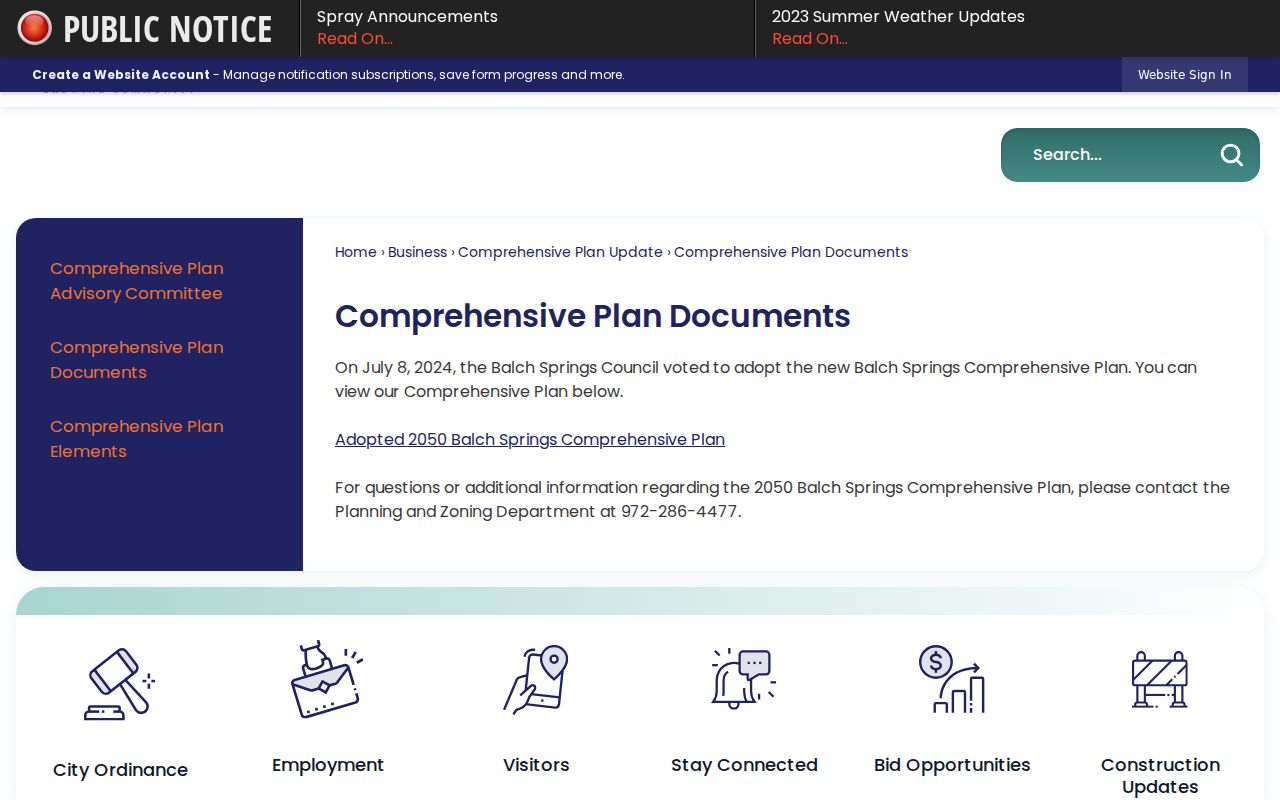
Use a plan map to understand civic geography, then validate the particular address through USPS, GIS, and the matching property record.
Balch Springs ZIP Code Limits
The missing postal data is part of the record story. Captured official sources did not expose complete USPS polygons, stations, carrier routes, or an old ZIP conversion table. They also did not establish a complete citywide ZIP map. State the known postal evidence narrowly, use the live USPS tool for delivery, and leave an edge address unresolved until the proper geographic source confirms it.
When a city-held record is needed, the Balch Springs City Secretary is the local route under the Texas Public Information Act, Texas Government Code chapter 552. Request a specific map, notice, ordinance, or date range. The law and the city route do not authorize reverse-engineering a protected address. Use public-record research for lawful personal, family, civic, estate, or property-history purposes, never to stalk, harass, or harm anyone.